|
SimCoast is a fuzzy logic rule-based expert system designed to enable researchers, managers and decision-makers to create and evaluate different policy scenarios for coastal zone management. It is interdisciplinary and multi-sectoral. It aims to combine traditional and advanced specialist knowledge about coastal zones with a set of reasoning and analytical tools. Experts involved include engineers, natural and social scientists, law-makers, administrators, community and national leaders. Via workshops and consensus discussions, sensitive issues such as transboundary pollution and cross-sectoral socioeconomic effects can be translated into rules for policy formulation and decision-making.
The conceptual basis of SimCoast is a two-dimensional multi-zoned map onto which key features such as ports, legal regimes and different habitats and activities such as shipping, tourism, aquaculture are mapped. Activities are often associated with different zones and processes to which they are linked (e.g. land tenure, erosion).
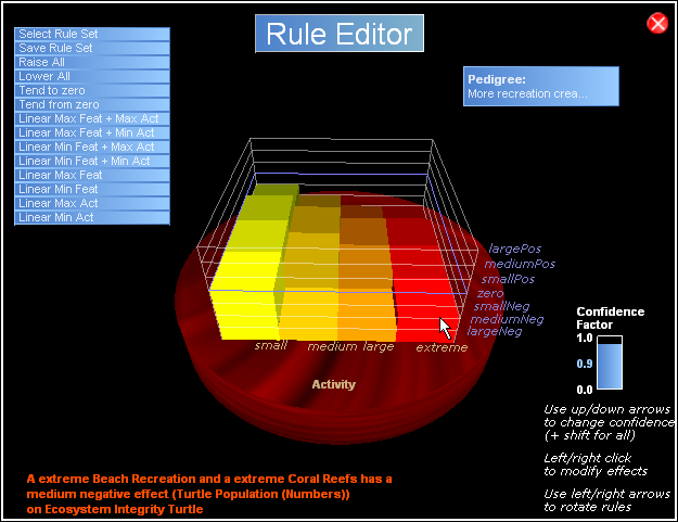
The effects of activities on features are evaluated in relation to defined policy targets (e.g. water quality, ecosystem integrity) as measured in particular units (e.g. E.coli ppm, or number of fish species). This evaluation is the result of developing a set of expert rules.
A PDF document, by Professor Jacquie McGlade, describing the use of expert systems and fuzzy logic in decision making is available here:
HOW TO INCORPORATE UNCERTAINTY AND RISK INTO DECISION-MAKING
The cost of SimCoast is:
Software package is £350 for an academic license and £500 for a commercial license.
All prices plus vat.
|
SimCoast 3D Console
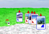
Placing activities and features on the map
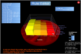
Defining rules and confidence factors

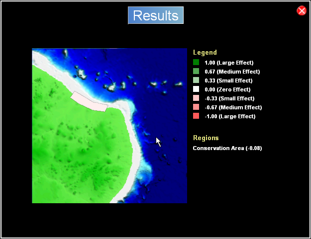
Results map

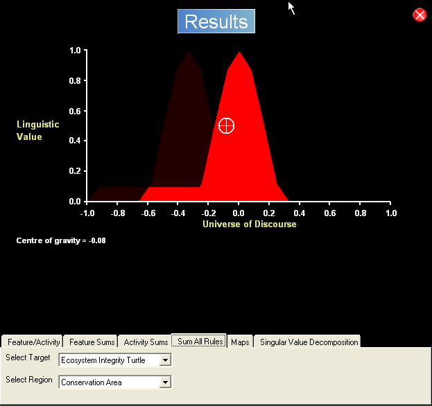
Results summary
|