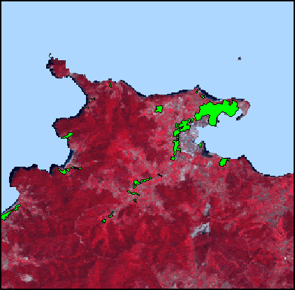
Animation of spatial data.
Figure shows urban areas animated as four time slices from 1954 to 1999 overlaid on a Landsat Thematic Mapper satellite image.
Data provided by Risk Management Consultants, UK, as part of the FORFAIT EU research programme.
STEMgis Animations - Urban Growth
|
Animation of spatial data. Figure shows urban areas animated as four time slices from 1954 to 1999 overlaid on a Landsat Thematic Mapper satellite image. Data provided by Risk Management Consultants, UK, as part of the FORFAIT EU research programme. |
|